The restoration industry is growing fast. Billions of dollars are flowing into nature-based solutions, carbon markets are expanding, and dozens of companies now claim to restore forests at scale.
But not all restoration is the same. The approaches, technologies, and business models behind these companies are fundamentally different, and understanding those differences matters if you're an investor, a carbon developer, a corporate buyer, or a landowner deciding who to work with.
This article maps the restoration ecosystem as we see it from the field - not to rank competitors, but to help people navigate a space that's becoming harder to read.
The restoration stack has three layers
Most confusion comes from lumping together companies that do very different things. The restoration ecosystem has three distinct layers:
Layer 1: Screening and feasibility
These companies help you answer: is this site worth investigating?
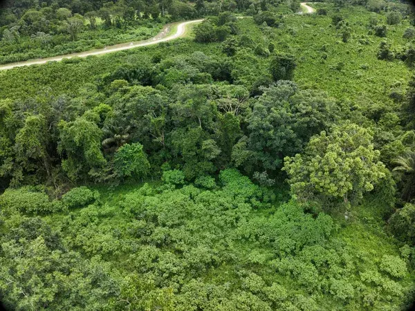
They work with satellite data at large scale to identify where restoration is feasible, filter thousands of parcels, and assess land potential before anyone sets foot on the ground. Think of them as the filter before the funnel.
Examples: Space Intelligence, LandOS, Restor.
Layer 2: Operational intelligence and execution
These companies answer: what should we plant, where, how, and can we prove it worked?
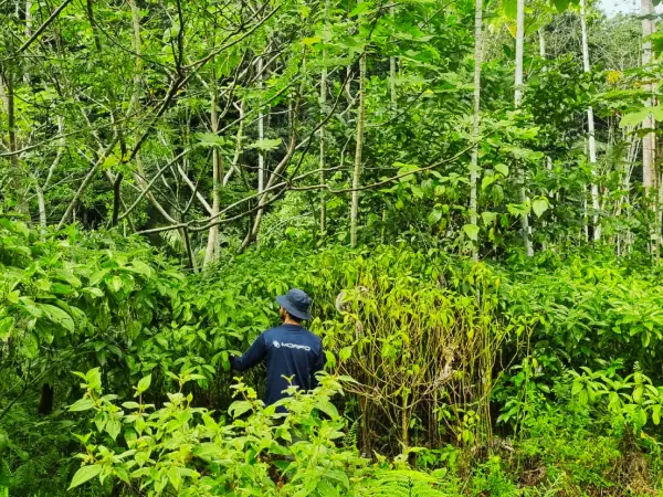
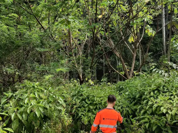
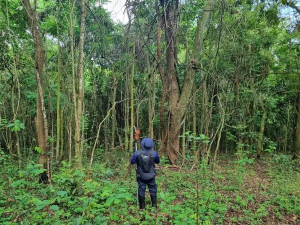
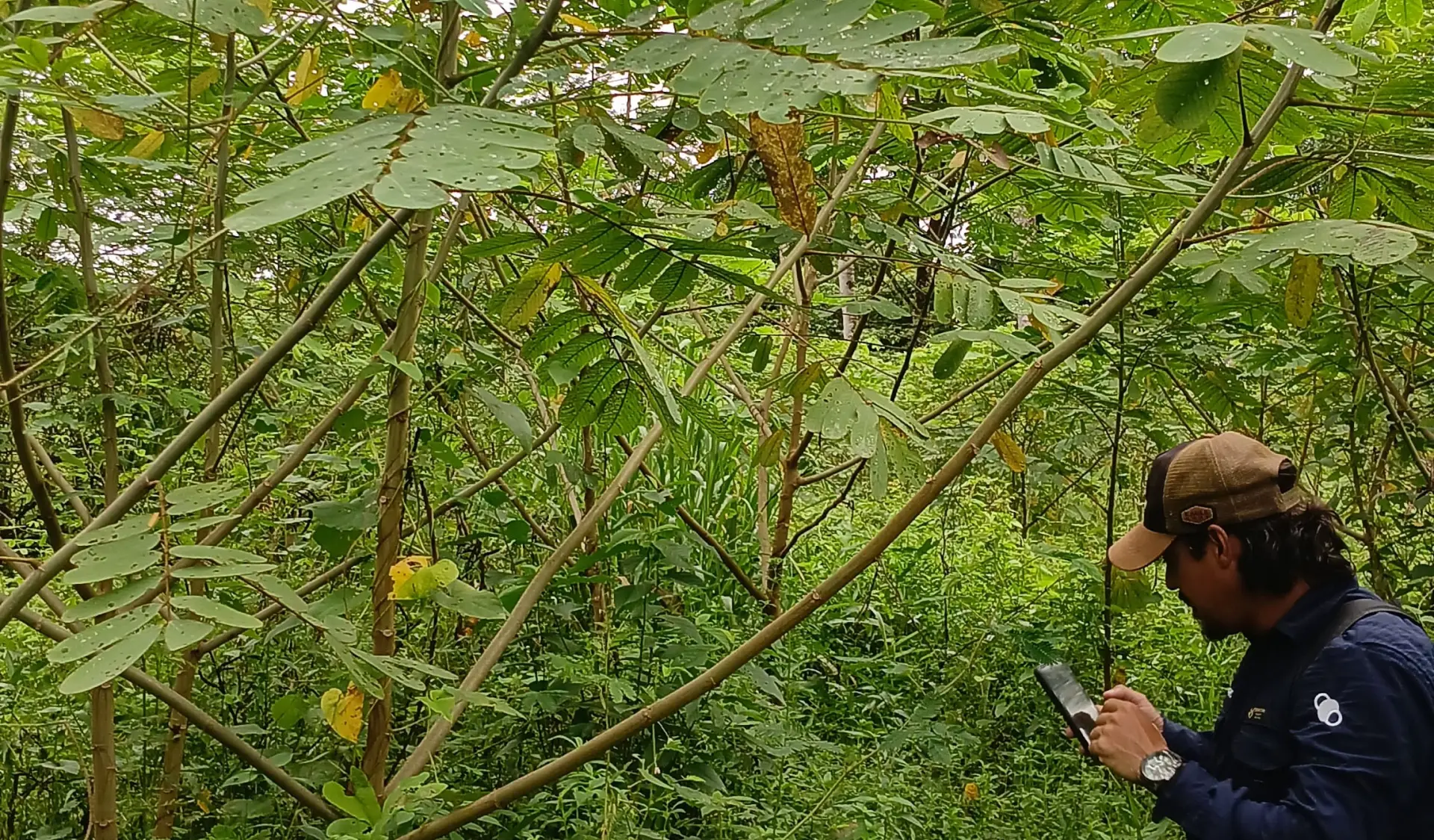
This is where the actual restoration work happens - site analysis, species selection, planting, monitoring, corrective actions, and impact reporting. This layer requires field presence, scientific protocols, and operational infrastructure.
This is where MORFO operates. We combine field operations (24 projects across three biomes in Brazil) with MORFO Restoration Intelligence, our operational platform that fuses satellite, drone, field, and model data per site. Every data point carries a confidence badge indicating its source. The platform covers the full project lifecycle: terrain understanding, restoration design, operational tracking, and impact proof.
Other operators in this space include Mast Reforestation (US, post-wildfire), Land Life Company (Europe, drylands), Dendra Systems (drone-based, multiple regions), and Flash Forest (Canada, drone seeding).
Each has a different geographic focus, technology mix, and business model. What they share: they actually plant.
Layer 3: Verification and carbon certification
These companies answer: can we certify the credits?
They provide independent measurement, reporting, and verification (dMRV) for carbon projects. They consume the data generated by Layer 2 operators.
Examples: Pachama, Kanop, Sylvera.
Why the distinction matters
Many conversations - with investors, buyers, and within the industry - conflate these layers. A satellite screening tool is not a restoration operator. A verification platform is not a planting company. And a drone is not a restoration strategy.
When these distinctions are blurred, capital goes to the wrong places, projects are structured on weak foundations, and restoration outcomes suffer.
What to look for in a restoration operator
Based on our experience operating 24 projects across 3 biomes in Brazil, here's what we think separates serious restoration from the rest:
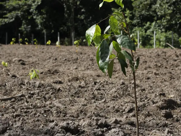
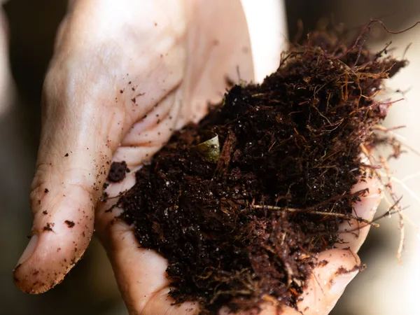
Field data, not just satellite data. Satellite gives you structure and coverage. But soil conditions, species identification, and actual seedling counts require boots on the ground. Any operator claiming hectare-level precision from satellite alone is overselling.
Multimodal planting, not a single method. No single planting method works everywhere. Drone seeding works well on steep, remote terrain. Manual planting is essential for riparian corridors and sensitive areas. Mechanization makes sense on flat degraded pasture. Assisted natural regeneration is the right call near existing forest. A serious operator combines methods based on the terrain.
Early-stage intervention, not just monitoring. Most restoration projects don't fail at planting. They stall before and underperform after. The critical window is the first 3 years - that's when corrective actions (replanting, invasive species control, fertilization) make the difference between success and failure.
Confidence levels, not just claims. Every data point should carry its source. Satellite-estimated? Drone-validated? Field-confirmed? Model-projected? If an operator can't tell you the confidence level behind a number, that number isn't worth much.
Science embedded in operations, not advisory only. Research partnerships are common. What's less