Brazil has committed to restoring 12 million hectares of degraded land by 2030. ARR credits (Afforestation, Reforestation, and Revegetation) are one of the main mechanisms to finance that restoration. But in practice, most ARR projects stall before the first seedling is planted.
Not because of a lack of land. Not because of a lack of capital. The problem sits between the two.
Where projects stall
After working on 24 restoration projects across three biomes in Brazil, we've observed that ARR projects don't fail at planting. They stall before and underperform after. Three critical failure points:
1. Capital committed before resolving uncertainty
A developer identifies a 5,000-hectare farm in the interior of São Paulo. It looks promising on MapBiomas. But before investing in PDD, field diagnostics, and project structuring, they need to answer: how much of this area is actually operable? What's the soil condition zone by zone? Is there brachiaria? Are there riparian protection areas requiring different treatment? What's the fire risk?
Without those answers, capital enters blind. And when surprises appear in the field, the project is already committed.
2. Execution without a system
The restoration plan lives in a Word file. The schedule in an Excel sheet. Progress is reported by email or WhatsApp. When a zone doesn't germinate as expected, the team finds out late. By then, corrective costs have tripled.
3. Impact promised, not proven
The carbon baseline was modeled, but not validated in the field. Biodiversity is mentioned in the proposal, but not documented with structured data. When the VVB asks for evidence, the team scrambles to assemble data that should have been collected from the start.
What changes when you solve these three problems
At MORFO, we built our operation around these three failure points:
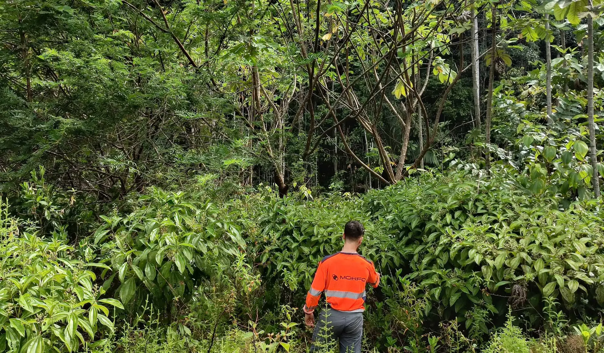
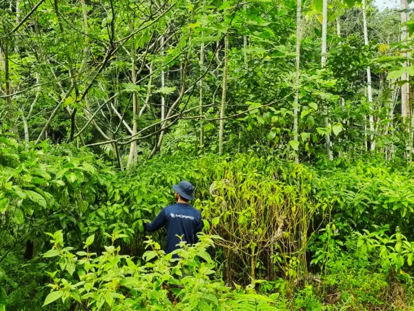
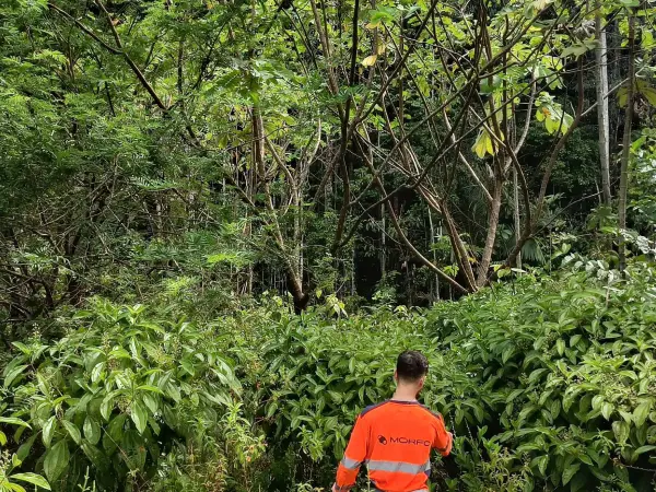
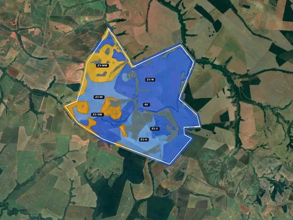
Before committing capital: field intelligence
Before planting a single seed, we analyze the terrain with over 15 data layers - satellite, drone, laboratory soil analysis, climate, slope, access, degradation history. The result is a zone-by-zone ecological diagnostic, with exclusion of non-viable areas and a multi-year operational roadmap.
This includes compliance with local regulatory frameworks (PRAD, Legal Reserve, CAR, Forest Code). The diagnostic is conducted by MORFO's field team, with scientific advisors from Embrapa, UFSCar, and UFV.
All of this intelligence is centralized in MORFO Restoration Intelligence, our operational platform for restoration project management. It covers the full cycle: terrain understanding, restoration design, operational tracking, and impact proof. Every data point carries a confidence badge indicating its source: satellite, drone, field, or model. The system tells you what it knows and what it doesn't.
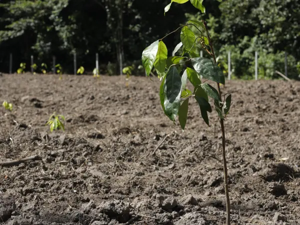
During execution: multimodal methods adapted per hectare
No single method works everywhere. MORFO combines manual planting with seedlings, drone seeding with patented seed capsules, mechanization with subsoiling and mowing, nucleation, and assisted natural regeneration.
The combination is chosen hectare by hectare, based on the terrain diagnostic. A drone can cover up to 50 hectares per day, dispersing 180 capsules per minute. But in riparian corridors or sensitive protection areas, manual planting with nursery seedlings is more appropriate.
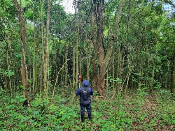
Soil preparation (subsoiling, mowing, brachiaria and ant control) is done by local teams. 100% of soil preparation and post-planting maintenance is carried out by local communities.
After planting: continuous evidence, not post-hoc narratives
Field data collection is quarterly (soil, biomass, biodiversity). Monitoring uses AI to track recovery - seedling identification (SeedlingID, developed in partnership with Google), vegetation cover, canopy structure.
If something isn't working, corrective actions are unlimited: replanting, invasive species control, fertilization. The goal is to intervene before failure becomes irreversible.
Reports are audit-ready - formatted for VVBs, IBAMA, or investor committees. Everything is centralized and traceable within MORFO Restoration Intelligence.
What MORFO is not
To be clear:
- Not a verification platform (dMRV). Kanop, Pachama, and Sylvera do that. We generate the field data those platforms consume.
- Not a satellite screening tool. LandOS and Space Intelligence do parcel triage. We start where screening ends.
- Not a financier. We are the technical operator that structures projects so capital can enter with confidence.
Numbers
- 24 restoration projects across three biomes in Brazil
- 1,900 hectares under management
- 10,000+ hectares in pipeline
- 25,000+ hectares analyzed through the MORFO Ri platform
- Catalog of 300+ native species, 10 to 30 selected per project
- 1,500 seed collectors engaged in Brazil
- 63% of seed collectors are women
- R$50M raised, R$30M+ invested in R&D and field operations
- 2 patents on methodology and bio-capsules
- Scientific partnerships: Embrapa, UFSCar, UFV
- Technology partnership: Google for Startups (3 years, top 3 selected startup)
For ARR developers
If you're developing or planning an ARR project in Brazil, MORFO is open to long-term partnerships. Projects starting from 1,000 hectares, with preference for 5,000+, across three biomes.
MORFO handles the full operational and technical scope: diagnostic, restoration design, multimodal execution, monitoring, and audit-ready evidence. The developer retains project structuring and buyer relationships.
To learn more or discuss a project: morfo.rest/contact
To follow our field work and results: morfo.substack.com
.webp)