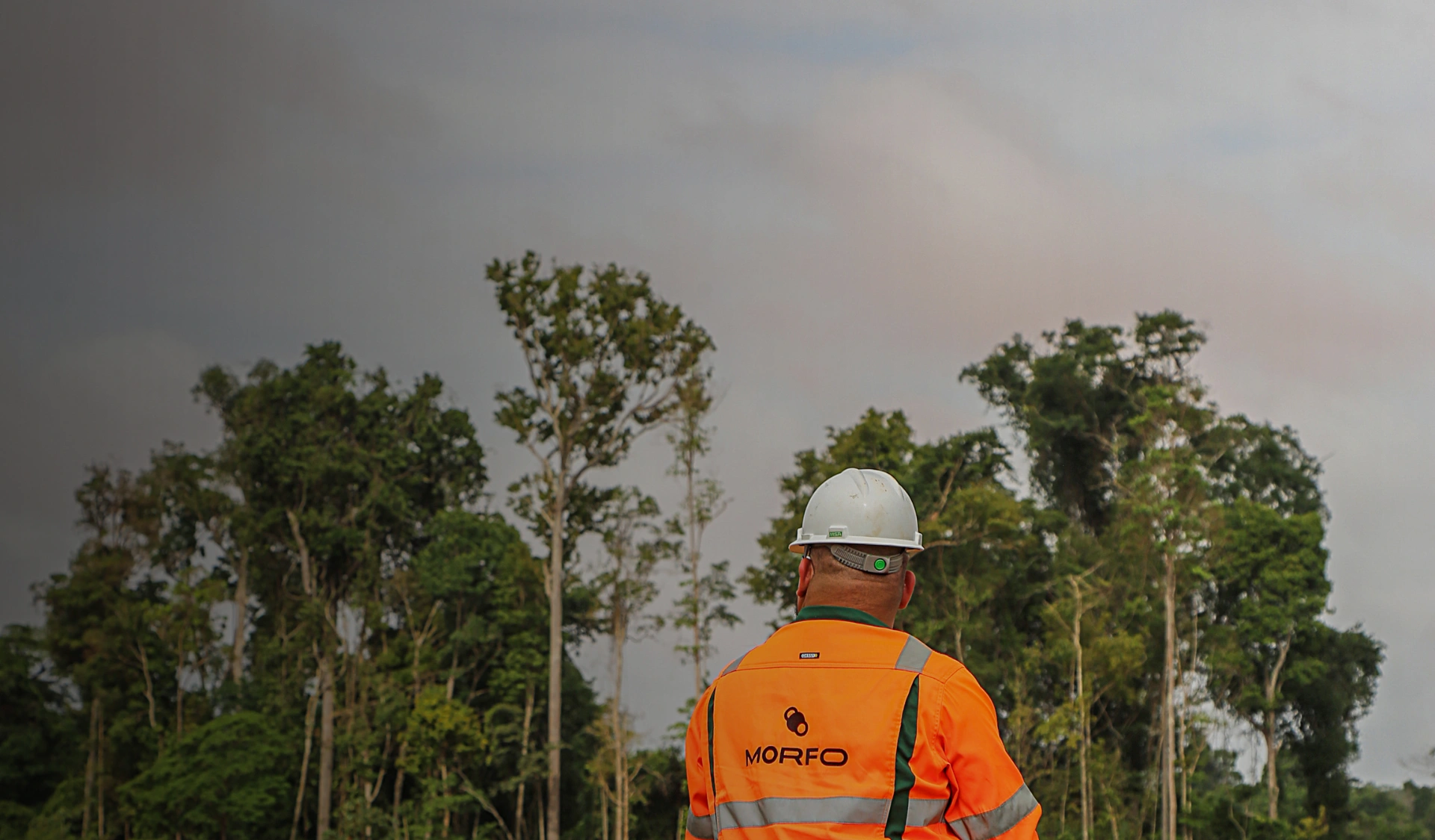
Every ecological restoration project starts with the same reality: land is never homogeneous.
Within a single farm, you can have:
- compacted areas alongside well-structured areas,
- slopes, lowlands, different soils,
- varying regulatory constraints,
- contrasting land-use histories,
- uneven levels of invasive species and grazing pressure.
Treating all of this as one single “block” produces theoretical plans that are disconnected from field reality, and it creates costly surprises at execution time.
At MORFO, we developed a methodology to turn this raw complexity into a structured, steerable, and defensible execution plan.
In short: hectare-level design in 5 steps
- Break down the land into homogeneous units (operational zoning).
- Observe and measure just enough to avoid “blind” decisions.
- Classify areas based on what they enable (and what they forbid).
- Design a strategy per zone, down to the hectare level.
- Orchestrate an execution plan (sequence, resources, responsibilities, quality control).
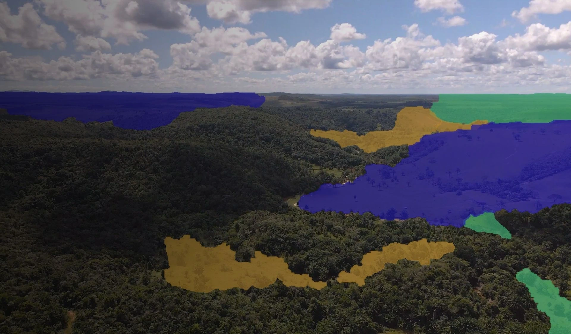
Step 1 — Zoning: build homogeneous units
Goal
Create a simple map that says: “here it’s the same story, so we can decide and execute consistently.”
What we deliver
- a segmentation of the land into operational zones (homogeneous units)
- a first read of constraints and opportunities for each zone
Example
A 1,200 ha property is broken down into 8 homogeneous units:
- U1: sandy plateau, gentle slope, soybean history
- U2: hydromorphic lowland, difficult access
- U3: medium slope with active erosion
- U4: mosaic of fragments and edges (high invasive pressure)
- …
Benefit: the project stops being “1,200 ha” and becomes “8 manageable problems”.
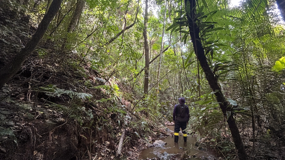
Step 2 — Evidence: document without over-engineering
Goal
Move from “we think…” to “we can defend that…”.
What we collect
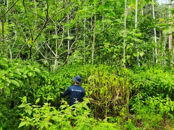
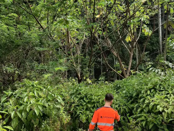
- georeferenced field observations
- georeferenced photos (baseline)
- targeted control points (soil structure, compaction, invasives, etc.)
- samples when needed (with traceability)
Example
On unit U3 (slope and erosion), we observe:
- concentrated runoff pathways,
- degraded soil structure on ridgelines,
- a very short access window during the rainy season.
Simplified operational conclusion: avoid a uniform strategy and plan a more gradual intervention sequence.
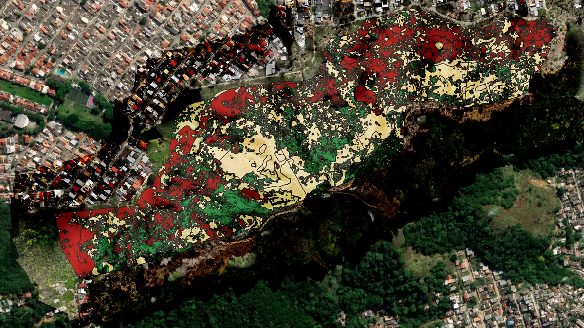
Step 3 — Classification: turn observations into decisions
Goal
Build a reading grid that leads to execution decisions.
Expected output
For each homogeneous unit:
- a class that expresses feasibility and effort level
- non-negotiable constraints
- risks, and how to reduce them
Example
- U1: “fast execution” (wide logistics window, low constraints)
- U2: “conditional execution” (access + hydromorphy)
- U3: “progressive execution” (erosion risk)
- U4: “focus on invasives control + protection” (otherwise failure)
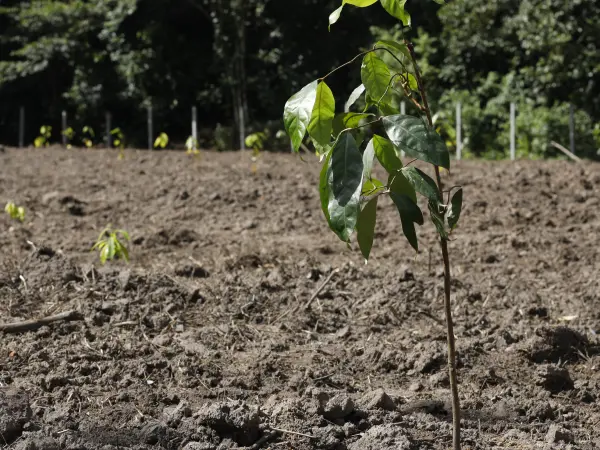
Step 4 — Zone-level design: choose the right strategy per hectare
Goal
Go from a map to a zone plan: what to do, in what order, with what means, and how to control quality.
Deliverables
- recommended strategy per zone (principles)
- execution sequencing (phasing)
- quality control checkpoints (QC)
- prerequisites and dependencies (access, permits, weather windows)
Example
For U4 (edges + invasives):
- Phase 1: stabilize the site (access, protection, minimal preparation)
- Phase 2: targeted intervention on invasives
- Phase 3: deploy the appropriate regeneration and planting strategy
- QC: survival checks, competition checks, and replacements on fixed dates
Step 5 — Execution plan: orchestration, not just design
Goal
Have a plan that can be managed like an operation:
- sequence
- resources
- responsibilities
- evidence
- corrections
What makes the difference
- Phasing: you don’t tackle everything at once.
- Logistics: access, weather, dispersion of plots.
- Quality control: check early to correct fast.
- Traceability: decisions and evidence remain accessible.
Conclusion: from field complexity to controlled execution
In large-scale ecological restoration, field reality does not forgive approximations. A theoretical plan that ignores soil heterogeneity, access constraints, or the logistics window will inevitably lead to localized failures, extra costs, and loss of credibility.
The key is not to know everything, but to structure what you know. The method above accepts uncertainty, manages it, and builds a system that remains steerable when conditions change.
To go further: the MORFO Platform, monitoring at scale
The methodology above only works if it stays manageable over time. That is where digital centralization becomes decisive.
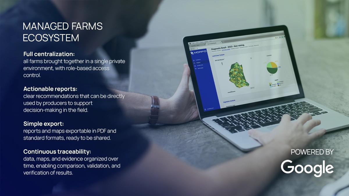
One site, many sites: the same challenge
Whether you manage a 1,200 ha farm or a portfolio of 15 projects across several states, the challenge is the same: keep track of what was done, what works, and what needs to be corrected.
The MORFO Platform ensures that all outputs, from initial zoning to post-execution quality controls, remain centralized, standardized, and traceable.
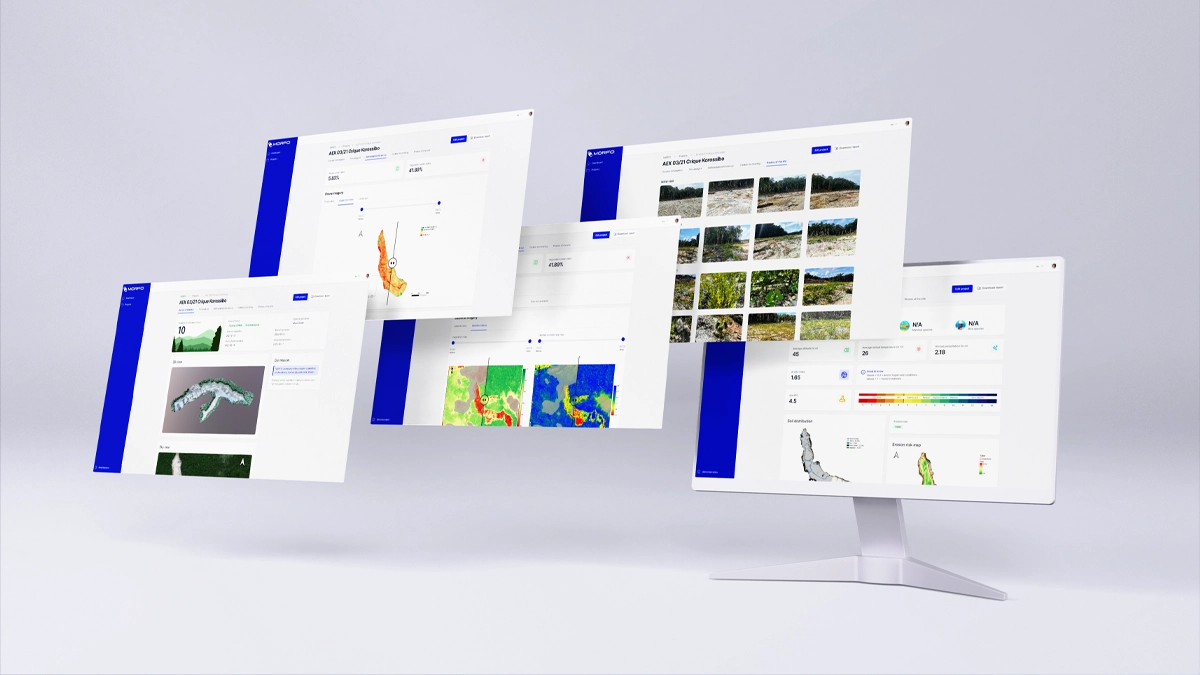
Concrete benefits
- Faster delivery: immediate access to maps and recommendations in a single interface.
- Stronger credibility: faster validations thanks to clear, usable information.
- Lower risk: evidence is organized from collection onward, with full traceability.
- Operational continuity: history remains accessible, making it easier to compare over time and demonstrate progress.
The platform relies on the MORFO data governance standard, developed in partnership with Google, with a focus on user experience, technical robustness, and the use of artificial intelligence to structure and explore data reliably.