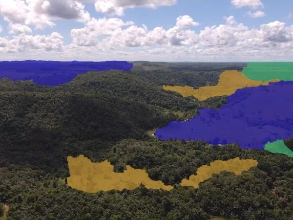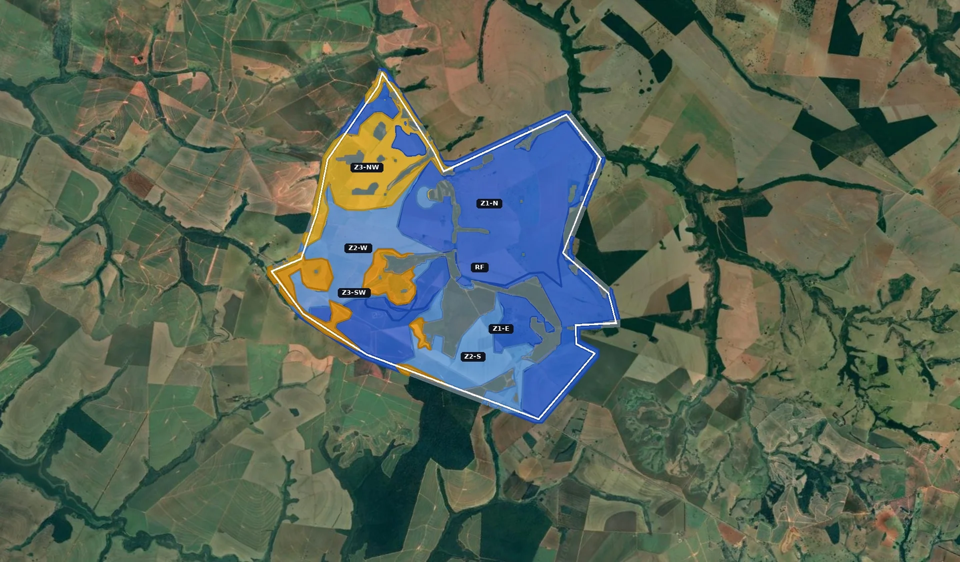
A 5,000-hectare site is not one restoration problem. It is seven different problems within the same area.

Applying the same treatment to everything means failing in most zones. The question is never "how do we restore this site?" but "how do we restore each part of this site, with what we actually know about the ground?"
The combinatorics of a restoration plan
For a single zone, the forest engineer must decide between several vegetation control methods - mechanized mowing, selective herbicide, controlled burning. Then soil preparation: subsoiling, disk harrowing, or none, depending on the compaction level. Then the planting method: line seeding in furrows, broadcast seeding, manual planting of seedlings, nucleation, or assisted natural regeneration. Then the species composition: a mix of pioneer, secondary, climax species and green manure with legumes.
Multiply those options by seven zones, each with its own soil profile, slope, access constraints, and invasive species pressure, and you are looking at thousands of theoretically valid combinations. The number of ways to get it wrong is far greater than the number of ways to get it right.
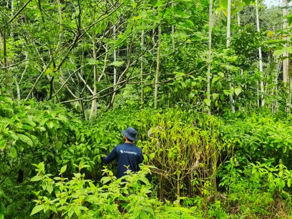
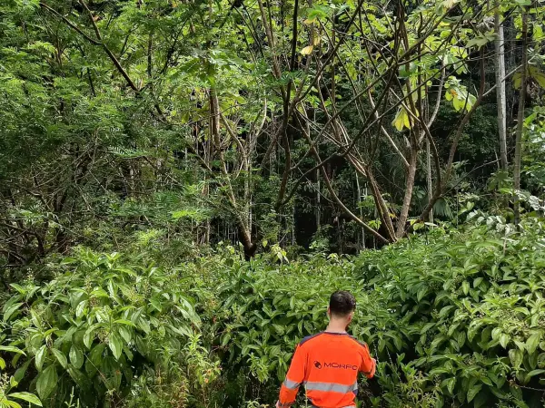
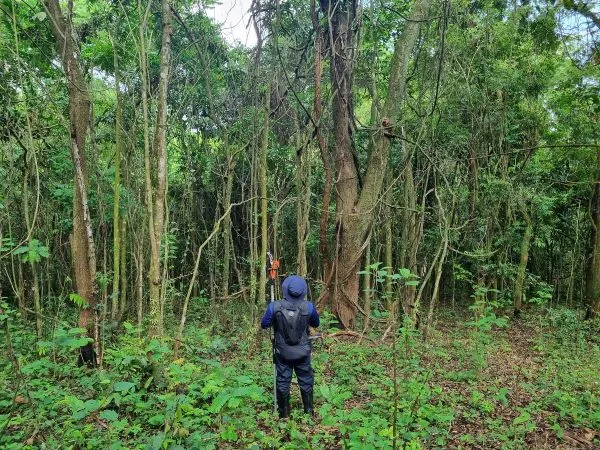
"You don't make a restoration plan sitting in the office. You make it from soil samples, slope measurements, and floristic inventories. The terrain tells you what it needs - but only if you listen to its heterogeneity." — Rebecca Montemagni Almeida, Engenheira de Ecossistemas Florestais, MORFO
Why "one size fits all" doesn't work
The most common failure mode in large-scale restoration is uniformity. The project applies mechanized seeding across the entire area because it is the most efficient method per hectare. But efficiency per hectare means nothing if 20% of the area has slopes above 30 degrees, or if 15% has soil so compacted from decades of soybean monoculture that seeds cannot germinate without deep ripping first.
Consider soil preparation alone. On pastureland, four to five disk harrowings may be necessary to break the root mat of invasive grasses. On former cropland, a single pass may suffice. That difference alone changes the cost per hectare by a factor of three to four, and shifts the timeline by weeks.
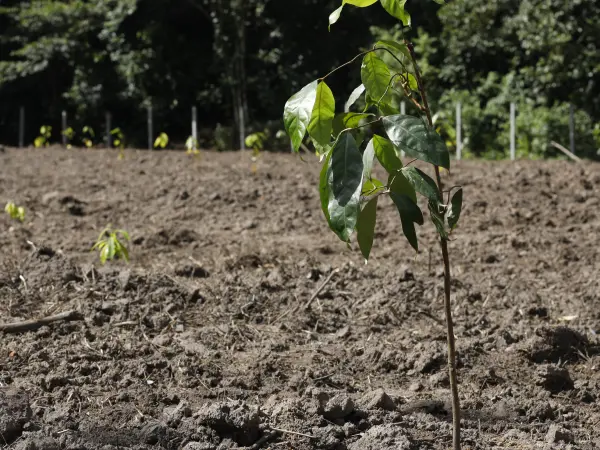
The planting method depends on the soil preparation. Line seeding in furrows is the most efficient method when the soil has been properly prepared. But on uneven terrain, broadcast seeding may be the only option. On steep slopes, manual planting of seedlings in individual pits becomes the only viable alternative, at a cost several times higher.
How decisions are made
The prescription for each zone is a function of at least five variables: soil condition (type, compaction, pH, organic matter), slope and relief (gradient, access for mechanization), invasive species pressure (type, coverage, root depth), access logistics (distance to roads, staging area), and planting window constraints.
No single data source answers all of these on its own. Satellite imagery shows slope, vegetation cover, and fire history. Drone orthophotos deliver centimeter-resolution maps. Field surveys provide the ground truth about the soil. Models project climate trajectories.

The diagnostic comes first. Always.
"Across 24 projects in the Atlantic Forest, Cerrado, and Amazon, we learned that the biggest risk is not choosing the wrong method - it is starting before understanding the terrain" — Hugo Asselin, Cofundador & CTO, MORFO
MORFO does not accept projects on sites without adequate soil preparation. If the diagnostic shows conditions that cannot support the planned intervention, the timeline changes - even if that means losing an entire planting season.
From complexity to execution
The result of this process is not a single plan but a set of zone-level prescriptions, each with its own treatment strategy, species mix, planting method, soil preparation requirements, timeline, and cost structure. A 5,000-hectare project stops being one overwhelming problem and becomes five, six, or eight manageable ones.
Each prescription carries a confidence level tied to the data sources behind it. Satellite-derived estimates are flagged as such. Field-validated measurements carry a different weight. Modeled projections are explicit about their assumptions. When an investor, an auditor, or a field team picks up the plan, they know exactly what is measured, what is estimated, and what remains uncertain.
The combinatorics are real. But they are not a reason for paralysis - they are a reason for discipline.