The intelligence behind every MORFO project.
From terrain assessment to performance tracking. Forged in the field. Proven across three biomes.
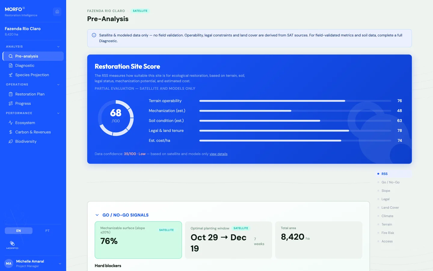
The engine behind successful restoration projects.
From PDF chaos to clear decisions.
Forest restoration strategies adapted to every hectare.
Each zone gets its own prescription, covering species, density, method and timeline, designed from real field data by our Ecosystems team. One plan per hectare.
Full visibility on your projects, from day one to year 30.
Every area, every zone, every phase, in one view. Pre-analysis, diagnostic, planting, monitoring, carbon, biodiversity. Track progress across your entire portfolio, from the first assessment to 30 years of ecological recovery.
Field data that auditors, investors, and regulators trust.
Every number carries a source badge: satellite, drone, field, or modeled. Exportable reports with full traceability. When someone asks for evidence, the data is structured, sourced, and ready.
hectares analysed
active restoration projects
data sources fused per site
project phases in one platform
MORFO Ri is the difference between restoring 100 hectares and 10,000.
It designs the restoration plan, and you track execution in real time.
Data sources
MORFO Ri
Operational intelligence for restoration
4 data sources fused · 7 project phases · Built by restoration leaders
Complementary tools
Carbon screening
- Kanop
- Chloris Geospatial
- CTrees
- Planet Forest Carbon
- Space Intelligence
Independent verification / dMRV
- Pachama / Carbon Direct
- Open Forest Protocol (OFP)
- Upstream Tech (Lens)
- Sylvera (Biomass Atlas)
Carbon credit rating
- BeZero Carbon
- Calyx Global
- Sylvera
- Renoster
Compliance & registries
- SICAR / CAR (Brazil)
- Verra (VCS)
- Gold Standard
- Equitable Earth
- ART TREES
- Isometric
- Plan Vivo
Deforestation alerts
- Global Forest Watch
- MapBiomas Alerta
- DETER / INPE
- PRODES / INPE
- SAD / Imazon
- FIRMS / NASA
Five things we do on every project.
What's the real state of the site?
Land cover, soil profiles, topography, ecological connectivity, degradation history. Field plots, drone orthophotos and soil lab results go beyond satellite. Pre-analysis from satellite, then field diagnostic with 12+ measurement plots per site.
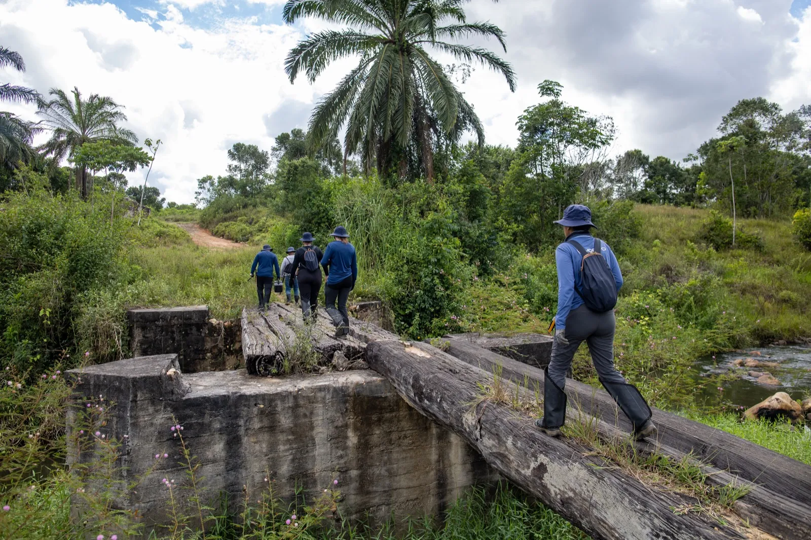
Mata Atlântica, São Paulo: field diagnostic campaign, 2025
Make every hectare count.
We replaced our Excel, shapefiles, and Word reports with one structured platform. Every project you run with MORFO benefits from it.
I need one place for all my site data, not 15 separate documents.
Deliver bankable ARR projects with structured evidence. The full chain from terrain assessment to additionality documentation, traceable and audit-ready.
I need credible field data to get to first verification.
Deploy capital with risk under control. Carbon trajectories, ecological recovery and risk signals, visible and traceable across your portfolio from day one.
One dashboard for 15 sites, not 15 separate reports.
Scale restoration without governance collapse. Reserva Legal, PRAD, TAC, CSRD, TNFD: structured proof that restoration is happening, on schedule, with results.
My board needs to see restoration is on track.
The delivery network, and a channel. Regional operators and consultancies execute under MORFO's protocols and can carry the intelligence into their own portfolio.
I run field crews and want a method and data behind them.
Built in the field. By the team that restores.
Built by MORFO, from 27 active projects across Mata Atlântica, Cerrado, and Amazonia. 2,142 hectares under management. 30 experts in forestry, soil science, field operations, and AI.
2 patents on methodology and bio-capsules. A 3-year technology partnership with Google for Startups. Scientific foundations with Embrapa, UFV, and UFSCar.
One project or twenty. Same clarity.
Every area. Every phase. One view.
Frequently asked questions.
Is this a dMRV platform?
No. dMRV platforms independently verify carbon. MORFO Ri is the operational layer upstream: we generate the baselines, monitoring data, and evidence packages that dMRV platforms consume.
Does it replace satellite screening tools?
No. Screening tools filter parcels. MORFO Ri starts where screening ends. Once you have identified a site worth investigating, it gives you the structured intelligence to assess, plan, execute, and measure.
Is it only for carbon projects?
No. ARR carbon projects, Reserva Legal compliance, PRAD/TAC, CSRD/TNFD reporting: carbon modeling is one module among seven.
Can I use it for projects outside Brazil?
Our experience is in Brazil and French Guiana. We can explore projects outside these regions, but on a case-by-case basis.
How is my data handled?
Your project data stays private. Each client has isolated access. No data is shared between organizations.
What's the difference between MORFO and MORFO Ri?
MORFO is the restoration company, with 27 active projects across three biomes. MORFO Ri is the internal platform built from those operations. When you work with MORFO, your project benefits from MORFO Ri's intelligence.
Plant with MORFO.
Tell us about your project. We'll show you how we'd approach it.
Due to high demand, we currently prioritize projects with confirmed land and active planting timelines.
Prefer email? Write to us at plant@morfo.rest