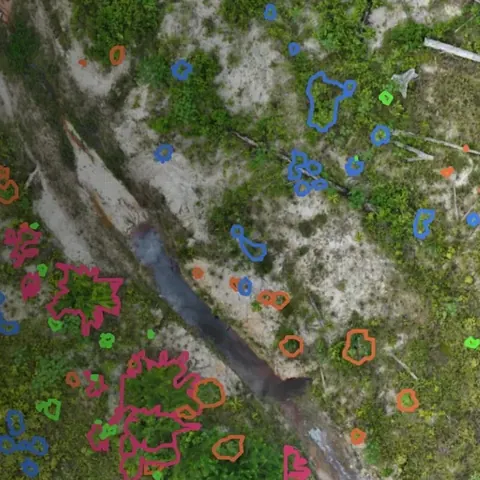
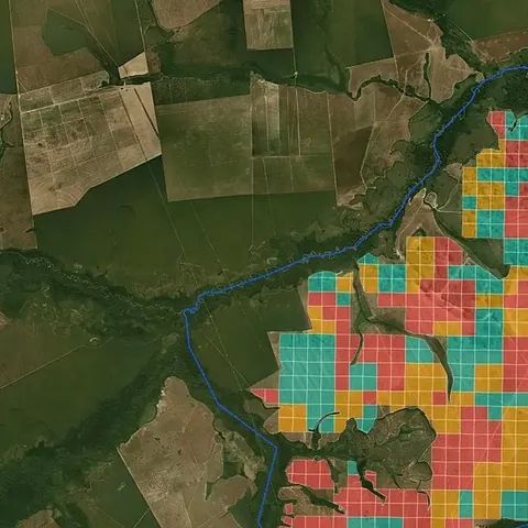
Data to decide where and how to restore
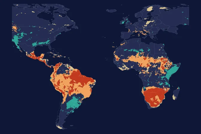
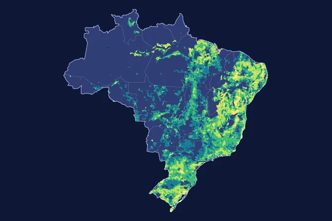
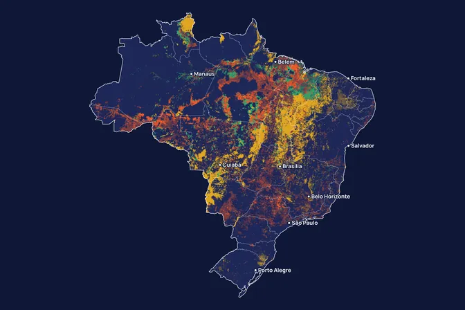
MORFO's scientific team works with large volumes of data to analyse each restoration area. Here we open part of that work, in maps covering the whole of Brazil.
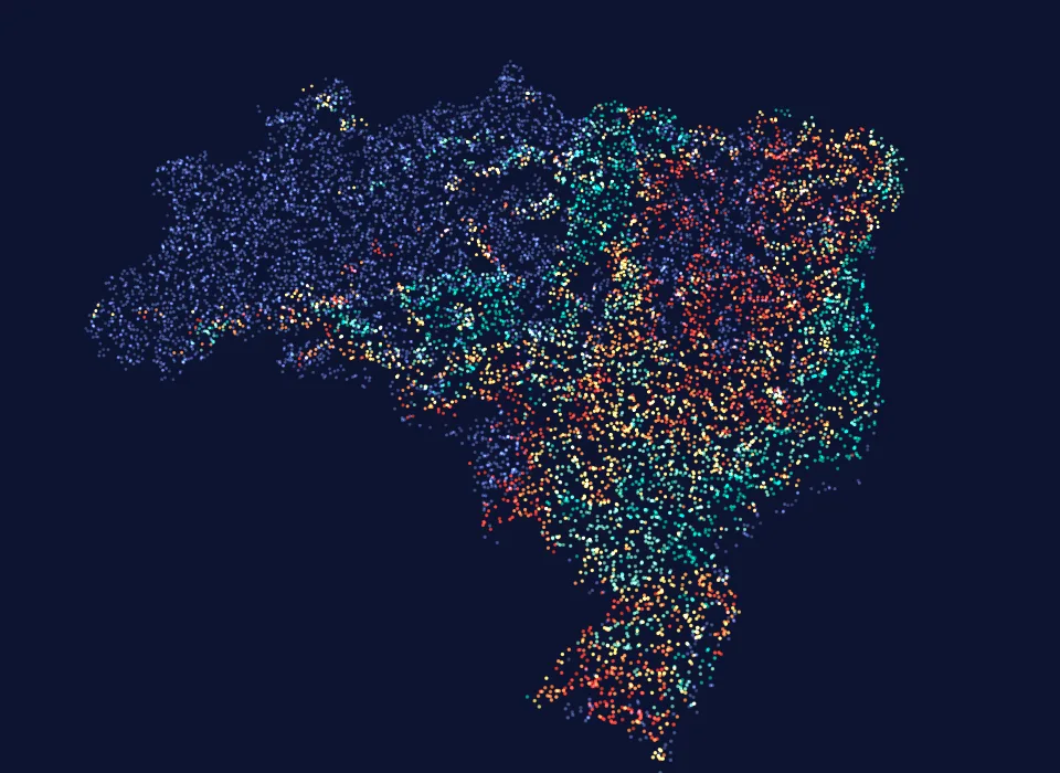
154,935.00
hectares already analysed by MORFO
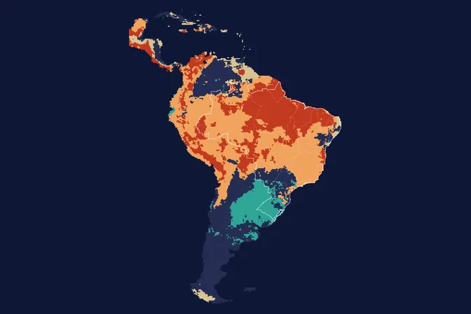
All maps
Want this analysis for your area?
- Send your areaLocation, polygon or CAR number.
- Talk with the teamTo understand the project.
- Pre-analysis of the areaBlockers, operable area, site score and first methods.
Your area
Riparian areaProtected areaPastureNative vegetationSteep slopeSandy soilClay soilWetterDrierFire scarNatural regenerationLand coverEnrichment plantingSlope and operabilityFull plantingLand cover + SoilRiparian area to restoreLegal restrictionsTowns and labourRoad accessSeed suppliers and nurseriesNearby native vegetation, a source of regrowth
MORFO Restoration Intelligence
The platform where each area MORFO analyses gets its pre-analysis, its plan and the follow-up of results over the years.
MORFO Ri
MORFO Ri
Illustrative area
Analysis
Pre-analysis
Diagnostic
Operations
Restoration plan
Management and monitoring
Pre-analysis · Illustrative area
- Satellite: 100% of the area
- Drone: flagged areas
- Field: critical areas
Data layers
- Slope and operability
- Soil
- Legal requirement (riparian areas and Legal Reserve)
- Fire
- Land cover and land-use history
- Access and logistics
Simplified version of MORFO Ri. To see the full tool, talk to the team.
LET'S GROW with MORFO