Where fire appears in Brazil, and what it burns
Burned at least once from 2016 to 2025, by what burned
- Native savanna and grassland
- Pasture and cropland
- Forest
Stronger colour: a larger share of the area burned
What the map shows
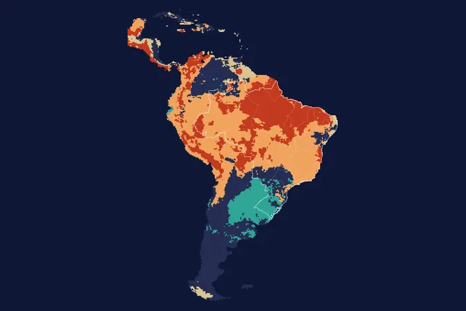
From 2016 to 2025, 90.6 million hectares burned at least once in Brazil, 10.6% of its territory. For anyone planting trees, fire is the first risk: a single fire can erase years of growth in a few hours. We made this map to show where fire keeps coming back and what it burns: forest, savanna, grassland or pasture.
How we built it
Each flame on the map stands for 100,000 hectares burned at least once from 2016 to 2025, coloured by what burned: native savanna and grassland (47%), pasture and cropland (33%) or forest (20%). 22.6 million hectares burned three times or more.
What the map does not say
- The map shows what burns, not why: there is no open national data on fire causes.
- Land cover is the one of the year of the last fire: forest burned and then turned into pasture counts as pasture. Forest is probably underestimated on deforestation fronts.
- Burned at least once does not mean destroyed: it includes pasture management fires and the fire-adapted Cerrado.
- Small or understorey fires escape satellite detection at 30 m.
How we use this data to analyse an area
On an area
Fire history is one of the 21 criteria MORFO combines to assess an area. It weighs on species choice, firebreak design and the maintenance plan, and it enters the calculation of the risk of losing seedlings. In the MORFO Ri pre-analysis, we combine the burn frequency of recent years with the recent fire alerts for each area.
What MORFO does next
- Prescribes what to plant, at what density and with what soil preparation.
- Organises the seeds.
- Plants with our field partners.
- Measures the results over the years in MORFO Ri.
Because fire risk enters the calculation from the start, MORFO can commit to results, such as germination rates at set dates, with prevention and replanting already planned in the project.
The data
MapBiomas Fogo collection 5.1, burned area 1985 to 2025, 30 m, crossed with MapBiomas land cover. MORFO analysis. See the sources
MORFO scientific team · Version 1, updated November 2026
Related maps
How to cite
MORFO Data. Where fire appears in Brazil, and what it burns. MORFO scientific team, version 1, November 12, 2026. Available at: https://www.morfo.rest/resources/data/fire
CC BY 4.0 licence: reproduce with this citation and a link to the page. Source data keep the licence of each source.
Want this analysis for your area?
- Send your areaLocation, polygon or CAR number.
- Talk with the teamTo understand the project.
- Pre-analysis of the areaBlockers, operable area, site score and first methods.
MORFO Restoration Intelligence is the platform where each area's pre-analysis, plan and follow-up come together. See MORFO Ri
Your area
LET'S GROW with MORFO