High-precision conservation for threatened species
Mosaic · Minas Gerais
Threatened species planted only where they can survive.
Mosaic has to reintroduce four threatened plant species across its properties in Minas Gerais as a condition of its state environmental licence. These are among the hardest species in Brazil to plant. Mosaic brought in MORFO to design the reintroduction so that it holds in the field.
- Biome
- Cerrado and Atlantic Forest
- Size
- around 490 ha across four properties
- Status
- Diagnostic delivered, planting design in review
Meet an obligation standard planting cannot
Mosaic is one of the largest phosphate fertilizer producers in the world, with mining operations in Minas Gerais. Its state environmental licence requires the reintroduction of four threatened plant species on its properties. The four species share the same problem: seed that loses viability quickly after collection, complex dormancy, rare or clustered distribution, and high sensitivity to water stress and to the wrong amount of shade. Standard planting methods have a poor record with species like these, which is why Mosaic brought in a specialist for this part of the obligation.
Read the land before committing to a plan
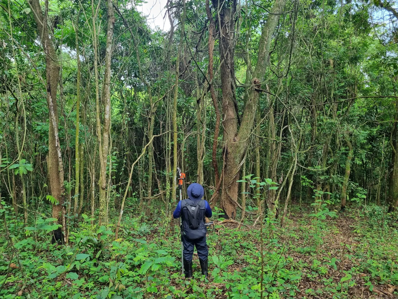
The preliminary field visit in late 2025 produced information no desk-level plan could have contained. Four findings changed the approach.
- Some areas had exposed soil and heavy invasive grass cover, unfit for direct planting of shade-tolerant species.
- One property already carried a saturated natural population of one of the target species, so new seedlings there would add nothing.
- Only two of the four target species were confirmed visually in the sampled transects. The two rarest were not found, which rules out random inventory methods.
- Terrain and field safety conditions ruled out continuous ground monitoring, so monitoring moved to remote sensing.
A uniform planting grid is the reasonable default before the field data exists. Once the field data existed, the plan changed.
Redesign the method around precision
MORFO rebuilt the methodology on four pillars that work together: scientific research, strategic nucleation, active search for mother trees, and remote sensing. Every intervention is decided from data, scientific, geospatial and field, before anything goes into the ground.
Build the scientific base for each species
MORFO's technical team produced a dossier per species covering phenology, reproductive biology, germination protocols and historical occurrence records. Those dossiers set the operational decisions that follow, which removes the trial-and-error cycle these species usually cost.
Secure the seed before it loses viability
MORFO ran due diligence on nurseries and seed networks to map availability, genetic traceability and legal compliance. For the species whose seed cannot be dried or stored, MORFO built a logistics protocol that keeps the seed viable from collection through to planting.
Find the mother trees the surveys miss
Herbarium and scientific collection records were screened into field validation routes, which guide the team to confirmed historical populations. In the field, active search replaces random inventory. For species at very low density it is the only method that finds viable mother trees.
Zone the properties from the air
Drone mapping at high resolution separates the areas that cannot support these species from the micro-sites where they have a real chance. Each seedling is then planted where survival is plausible, which is what keeps mortality and cost down.
Stand with Mosaic in front of the regulator
Beyond the original technical scope, MORFO now acts as Mosaic's technical partner with the state environmental authority in Minas Gerais, supplying the scientific basis for the technical notes that justify the methodological change. The method can evolve on the record, with the evidence behind every change on file.
Deliver the design phase, item by item
- Diagnostic plan
- Monthly activity reports, ongoing
- Technical dossiers for the four target species
- Seed and nursery supply chain diagnostic
- Geographic intelligence from herbaria and scientific collections
- Initial aerial survey of the four properties
- Technical basis for the regulatory submission
Planting has not started. This case documents the design phase.
Projects with threatened species fail when the plan rests on assumptions instead of field data. Environmental compliance and operational efficiency hold together here because the reading came first.
Turn degraded land into a project that holds.
Send us an area. We will tell you if it is viable, and how.