Where to restore in Brazil, depending on your priority
Hover over or tap the map to see a cell.
Which criterion matters most to you?
Example profiles
Example weights, to get started. Every real case needs its own adjustments.
What the map shows
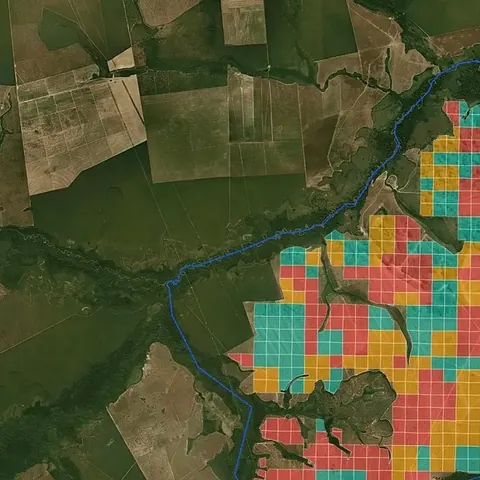
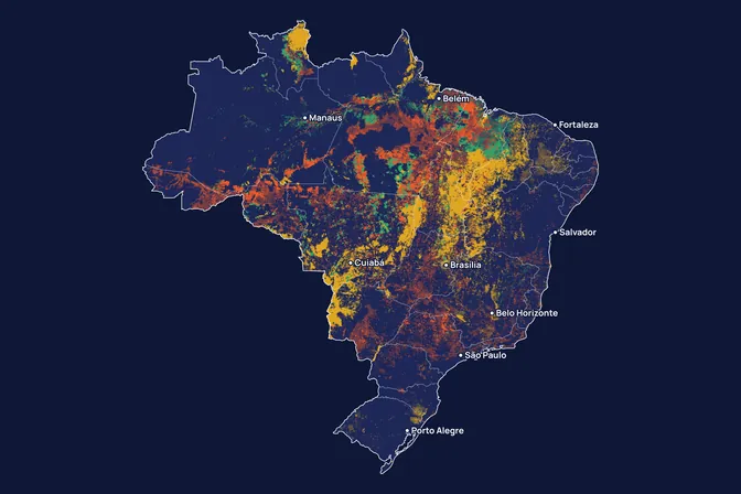
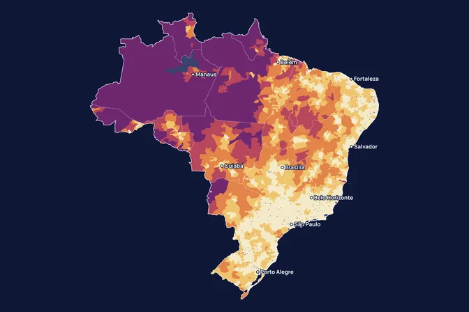
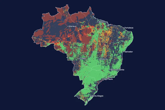
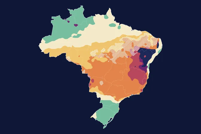
There is no single best place to restore in Brazil. It depends on what matters most to whoever decides: cheap land, less water deficit, less fire, what the law requires. We made this map to show how the answer changes with the priority. When all criteria count together, with the weights MORFO uses as a starting point, the most suited areas are in south-east Pará and north Tocantins, São Paulo and Paraná, south Bahia and east Minas, Mato Grosso and Maranhão.
How we built it
We started from a grid of about 5 km. A cell enters the calculation when at least 15% of it is open land, pasture or cropland, with no indigenous land, quilombo, strict protection area, IBAMA embargo or clearing in the last 10 years.
Each criterion is turned into a relative rank among the cells in the calculation. When one criterion is chosen, it counts 70% and the others share the remaining 30% equally. Colours show quintiles: the darkest green holds the 20% of cells best suited to that priority.
The final map uses a starting point that each decision-maker can adjust: nature 45% (forest growth 15, water 10, native forest within 300 m 10, fire 5, seeds 5), cost and operations 30% (land 15, slope 5, access 5, labour 5) and legal demand 25%.
What the map does not say
- The weights of the final map are a choice made by MORFO. An investor, a developer and a landowner would weigh the criteria differently, according to their own goals.
- Colours are relative. The darkest green marks the 20% of cells with the best score for that priority, even where the whole region is difficult.
- Some criteria are municipal averages, and the sources come from different years. The map says nothing about a given plot.
- Using the legal requirement as a criterion can raise an additionality question for carbon projects.
- To run in your browser, the simulator uses a grid of about 11 km, coarser than the roughly 5 km grid used in the analysis. Outlines are less precise.
What is this tool for?
To compare regions before looking for an area. A fund buying land, a carbon project developer and a company that must comply with the Forest Code do not look for the same place. Each gives more weight to one criterion, and the map changes with it.
How do I read the map?
Each cell is about 11 km across. The darkest green holds the 20% of cells with the best score for the chosen weights, and red holds the 20% with the worst.
Colours compare cells with each other. A green cell in a difficult region is still the best option in that comparison, with no guarantee that a project would work there.
Dark areas are out of the calculation: standing forest, indigenous land, quilombo, strict protection area, IBAMA embargo or clearing in the last 10 years.
How do the weights work?
In fine-tune mode, the map uses the ratio between the weights, so the total does not need to reach 100%. A weight of zero takes the criterion out. The button under the sliders brings back the weights MORFO uses for "All criteria together".
Can I use this map to choose a farm?
Not directly. The map works with 11 km cells and municipal averages, from sources of different years. It shows which regions are worth searching. For an actual area, the MORFO Ri pre-analysis uses data from the area itself, such as slope, soil, land cover and fire history, and the field diagnostic confirms what satellites suggest.
What choices did we make?
A cell enters the calculation when at least 15% of it is pasture or cropland with no legal restriction. Each criterion becomes a relative rank among those cells: the cheapest land tops the price criterion, the fastest access tops the access criterion, and so on.
We included the legal requirement because it creates demand for restoration. For carbon projects it can raise an additionality question, which is why the carbon profile sets that weight to zero.
How we use this data to analyse an area
On an area
For an actual area, MORFO combines 21 criteria. The simulator uses 10 criteria available at national scale to compare regions. In the MORFO Ri pre-analysis, the analysis uses data from the area itself and produces a site score, and the field diagnostic confirms what satellites suggest.
What MORFO does next
- Prescribes what to plant, at what density and with what soil preparation.
- Organises the seeds.
- Plants with our field partners.
- Measures the results over the years in MORFO Ri.
Once the area is chosen, the same data is used to estimate the risk of loss and to commit to results, such as germination rates at set dates.
The data
MapBiomas collection 11, 2025 (land cover and native forest); MapBiomas Fogo collection 5.1; Cook-Patton et al. 2020 (growth); TerraClimate (water deficit); Weiss et al. 2018 (access); Receita Federal VTN, INCRA and Epagri (land price); CSR/UFMG (legal deficit); IBGE Agricultural Census 2017 (labour); O que plantar platform (seeds); IBAMA, FUNAI, INCRA and CNUC/MMA (restrictions); slope: SRTM (NASA). MORFO analysis. See the sources
MORFO scientific team · Version 1, updated November 2026
Related maps
How to cite
MORFO Data. Where to restore in Brazil, depending on your priority. MORFO scientific team, version 1, November 12, 2026. Available at: https://www.morfo.rest/resources/data/where-to-restore
CC BY 4.0 licence: reproduce with this citation and a link to the page. Source data keep the licence of each source.
Want this analysis for your area?
- Send your areaLocation, polygon or CAR number.
- Talk with the teamTo understand the project.
- Pre-analysis of the areaBlockers, operable area, site score and first methods.
MORFO Restoration Intelligence is the platform where each area's pre-analysis, plan and follow-up come together. See MORFO Ri
Your area
LET'S GROW with MORFO