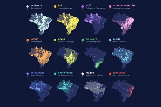
Brazil's best-known trees, as counted by the National Forest Inventory
Trees measured by the National Forest Inventory
- embaúba
- ipê
- açaí
- aroeira-do-sertão
- jatobá
- pequi
- araucária
- buriti
- seringueira
- castanheira
- mogno
- pau-brasil
- other species
1 dot = 10 trees measured by the inventory
What the map shows
Of the 706,953 trees measured by the National Forest Inventory, only 7 are pau-brasil. The country's 12 best-known trees make up 3.8% of all trees measured. The most counted is the embaúba, a pioneer species, with 6,219 trees, followed by the ipê, with 4,901: each appears in 15% of plots, while mogno totals 16 trees. We made this map to compare how well known these trees are with what a systematic count finds in the field.
How we built it
We counted the living trees of the 12 species in the National Forest Inventory plots. On the map, each icon stands for 10 trees and sits on its real plot: 2,719 icons in all. In the animation, the icons leave the map and gather into one column per species.
What the map does not say
- These are sample counts, not national populations. Sampling is uneven between states.
- Only 59% of the trees measured are identified to species, 1% in Santa Catarina and 23% in Pará. Amazon species are undercounted.
- Planted trees are included in the count, such as seringueira in Bahia and açaí in Mato Grosso.
How we use this data to analyse an area
On an area
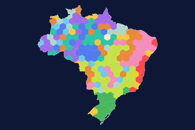
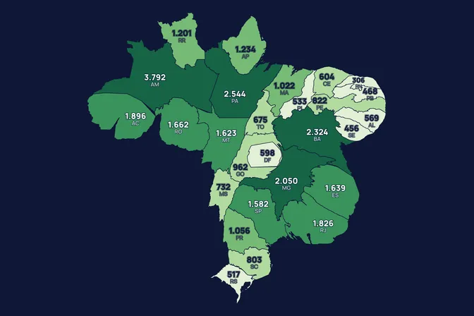
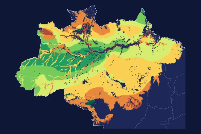
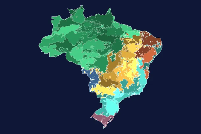
This map is a general picture and does not feed directly into the assessment of an area. To choose the species of a planting, MORFO starts from the area's reference ecosystem, one of the 21 criteria it combines. The maps where each well-known tree is native and the well-known tree that marks each region show the same 12 trees by where they occur.
What MORFO does next
- Prescribes what to plant, at what density and with what soil preparation.
- Organises the seeds.
- Plants with our field partners.
- Measures the results over the years in MORFO Ri.
The data
National Forest Inventory, plots measured from 2011 to 2024, with species, diameter and height of each tree. MORFO analysis. See the sources
MORFO scientific team · Version 1, updated November 2026
Related maps
How to cite
MORFO Data. Brazil's best-known trees, as counted by the National Forest Inventory. MORFO scientific team, version 1, November 14, 2026. Available at: https://www.morfo.rest/resources/data/known-trees-inventory
CC BY 4.0 licence: reproduce with this citation and a link to the page. Source data keep the licence of each source.
Want this analysis for your area?
- Send your areaLocation, polygon or CAR number.
- Talk with the teamTo understand the project.
- Pre-analysis of the areaBlockers, operable area, site score and first methods.
MORFO Restoration Intelligence is the platform where each area's pre-analysis, plan and follow-up come together. See MORFO Ri
Your area
LET'S GROW with MORFO